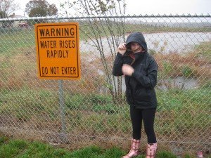
The NWS warns there could be flooding associated with the storm.
The National Weather Service has issued a Hazardous Weather Outlook for the Northern Virginia, D.C. and Southern Maryland region. It is in effect until 6 p.m. this evening. There is a possibility of wind surges, showers, and thunderstorms that could lead to power outages. "Wind Advisory remains in effect for the entire area until 6 p.m. EDT this evening," the NWS state. "A Gale Warning is in effect until 6 p.m. EDT this evening." We can expect scattered showers and thunderstorms. "Some storms could be severe, with damaging winds and frequent lightning." "Gusty winds could blow around unsecured objects," the NWS warned. "Trees may be blown down due to the saturated ground, and this may lead to power outages." Around 3 p.m. is it sunny, with a high near 79. Breezy, with a southwest wind around 23 mph, with gusts as high as 50 mph. Chance of precipitation is 50%. NWS has flood warning including around small streams.
The NWS issued as special warning for Bull Run: "At 2:25 p.m. EDT, the gauge at
Bull Run in Manassas Park has exceeded flood stage. Other creeks and streams in the warned area are likely out of their banks, and will remain so through late afternoon. This includes flood prone locations Manassas Drive at Kent Drive... Denver Drive near Manassas Drive... and Holden Drive at Adams Street. PRECAUTIONARY/PREPAREDNESS ACTIONS..." the warning announced. Turn around, don't drown when encountering flooded roads. Most flood deaths occur in vehicles. Stay away or be swept away. River banks and culverts can become unstable and unsafe."


