
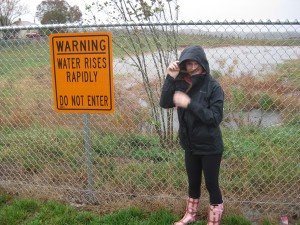
 Avoid arises where water could rise rapidly.
UPDATED, July 17 at 5:12 p.m.:
The National Weather Service has issued a second severe thunderstorm warning for Northern Virginia until 5:30 p.m.
"At 4:48 p.m. EDT, a severe thunderstorm was located near Haymarket or 7 miles southwest of South Riding, moving northeast at 35 mph."
Wind gusts are 60 mph.
This storm will affect Northern Virginia areas of Western Prince William County, Manassas and Manassa Park, Fairfax County and southeastern Loudoun County.
(See original article for the recommended response to the severe thunderstorms.)
Original Article:
According to a Prince William County alert, The National Weather Service in Sterling, Virginia has issued a severe thunderstorm warning for Northern Virginia until 5 p.m.
The areas affected include southwestern Prince William County, Central Fauquier County and north-central Culpeper County.
At 4:19 p.m., a severe thunderstorm was located near Culpeper, moving northeast at 35 miles per hour with 60 mph wind gusts.
"Damaging winds will cause some trees and large branches to fall. This could injure those outdoors, as well as damage homes and vehicles. Roadways may become blocked by downed trees," said the alert.
"Localized power outages are possible. Unsecured light objects may become projectiles."
Jurisdictions include Gainesville, New Baltimore, Culpeper, Warrenton, Bristow, Linton Hall, Haymarket, Catlett and more.
"For your protection move to an interior room on the lowest floor of a building," the alert warned.


Support Bristow Beat - Donate Today!