
 Following Tuesday's snow, The National Weather Service is forecasting 25-35 mph winds, with the potential of 50 mph gusts from 9 a.m. to 6 p.m. Wednesday.
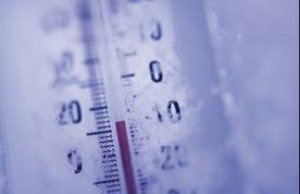
With a very cold arctic air moving into the region, residents could see additional snow showers Wednesday afternoon, with even some snow squalls possible, NWS said.
According to the weather service, snow showers or snow squalls could enhance gusty winds and briefly lower visibility, resulting in very hazardous driving conditions locally.
"The combination of possible snow squalls, gusty and potentially damaging winds and very cold temperatures with sub-zero wind chills may become life-threatening, especially if winds result in power outages in the midst of the cold weather," a forecaster said.
Gusty winds and sub-zero wind chills will continue Wednesday night into Thursday morning with wind chills as low as -7 degrees. Thursday, highs will be near 25 with wind chill values as low as -8 degrees.
Bristow Beat will continue to monitor the weather event.


Support Bristow Beat - Donate Today!