
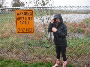
 Photo reminds residents to avoid areas where waters rise rapidly.
 The National Weather Service out of Baltimore Maryland and Washington, D.C. have announced a Hazardous Weather Outlook for northern Virginia, Washington, D.C., Tidal Potomac River, Chesapeake Bay and central Maryland.
Heavy rainthat began Tuesday morning could continue into the evening, and possibly into Wednesday.
According to the NWS, “thunderstorms may produce isolated damaging wind gusts or isolated instances of flooding today.”
The area has already experienced heavy rain this morning. According to the forecast, scattered showers and thunderstorms are expected after 2 p.m. as well. Some storms could produce heavy rain.
Into the evening, the NWS predicts a 50% chance of precipitation to include scattered showers and thunderstorms before midnight, and then a slight chance of showers. Some of the storms could produce heavy rain.
Rain could continue into Wednesday with a chance of showers in the morning, and thunderstorms possible after 2 p.m. It will be partly sunny and the chance of precipitation falls to 40%.
Rain should clear up by Wednesday night. Temperatures this week include lows in the high 50s to highs in the low 80s. Next week will be warmer will temperatures in the 90s.


Support Bristow Beat - Donate Today!